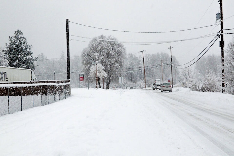
One of Canada’s most high-profile weather forecasters says the extreme storms that have pummelled parts of the country over the past month may be a sign of what lies ahead for the upcoming winter.
Weather Network chief meteorologist Chris Scott says colder water temperatures in the Pacific Ocean are creating what are commonly known as La Niña conditions, which often lead to drastic shifts across southern Canada.
Scott says the result will sometimes feel like “weather whiplash” this winter as temperatures and precipitation levels swing between extremes throughout the season.
He says British Columbia and the bulk of the Prairie provinces are on tap to see above average precipitation and colder than average temperatures, noting the recent torrential rainstorms that caused widespread flooding in B.C. offer a particularly stark example.
Forecasts call for above normal precipitation but colder temperatures will result in heavier snow, especially at higher elevations, which will result in an extended ski season in. B.C.
A snowy winter is expected in the southern half of Alberta and southwestern Saskatchewan, while near normal snowfall is forecast elsewhere.
Scott says the battle between seasonal highs and lows will play out most dramatically in Quebec and Ontario, where above average precipitation is expected amid temperatures that skew below normal in northwestern areas and higher than average in more southern regions.
Stormy winter weather followed by extended periods of mild weather will bring lots of snow followed by a mix of snow, ice and rain, especially in southern areas. Winter weather will come early but severe cold won’t persist in the heart of the season.
“While we do anticipate above normal snowfall, I wouldn’t get your hopes up for a great ski season in southern Ontario because there are going to be times when we get decent amounts of snow but then it’s going to be a come-and-go winter where at times it seems that winter just gets wiped away by a blast of warm weather for a few weeks,” Scott said in a telephone interview.
The Atlantic provinces may see more major storms like the one that recently battered Newfoundland and Labrador as well as parts of Nova Scotia, but Scott said this winter is largely expected to bring below normal snowfall and temperatures somewhat above seasonal norms.
Scott is also predicting above average temperatures for Nunavut, while long-range forecasts for Yukon and the Northwest Territories project overall colder conditions with less precipitation than usual.
“When we get a La Niña weather pattern, we tend to get a very stormy setup with the jetstream across the northern U.S. and southern Canada,” Scott said. “Because we’re on the jetstream, we tend to get a lot of ups and downs in our temperatures. And so we’re going to get this whiplash effect where we kind of swing back and forth throughout the next three months.”
Scott said the above-average precipitation levels forecast across much of the country don’t necessarily spell bad news for already flood-ravaged areas, noting much of it may turn to snow when truly wintry temperatures set in.
While La Niña patterns are far from novel, Scott said the recent bouts of extreme weather that have washed away key pieces of infrastructure and even led to multiple deaths in British Columbia bear the hallmarks of broader climate change.
He likened the results of rising global temperatures to a pair of dice that have been subtly weighted to make certain weather events more or less likely.
“So what happens is you’re rolling the dice, and each die gets weighted just a little bit differently. And so the odds of coming up with a heavy rainfall event or a heat wave are higher than they would have been 50 years ago,” he said.
“At the same time, the odds of getting severe cold are a bit less. So it’s not that we can’t get certain things or that we do get certain things because of climate change. It all comes down to the odds and the risk.”
—The Canadian Press
RELATED: Weather Network says a pretty nice fall is in store for Canada
RELATED: B.C. wildfires ‘graphic’ evidence of climate change, premier says
