Geoscience BC has released the results of its latest project.
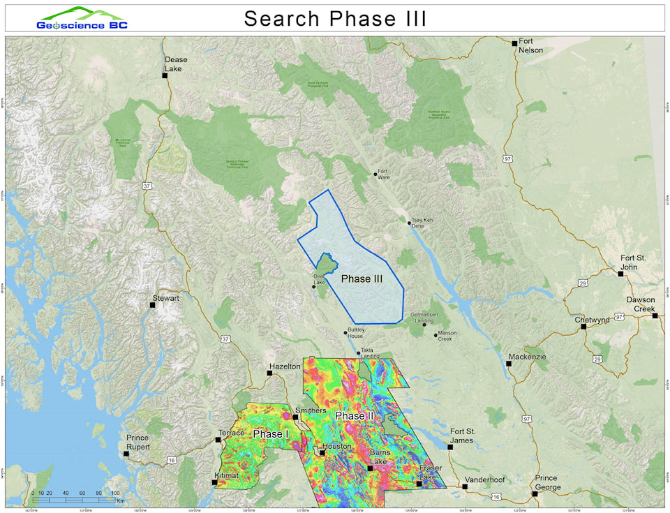
The independent, non-profit organization revealed new data from the Search Phase 3 project at last week’s AME Roundup Conference in Vancouver. The most recent airborne geophysical survey covered an area from the proposed Kemess Underground mine south to near Mackenzie.
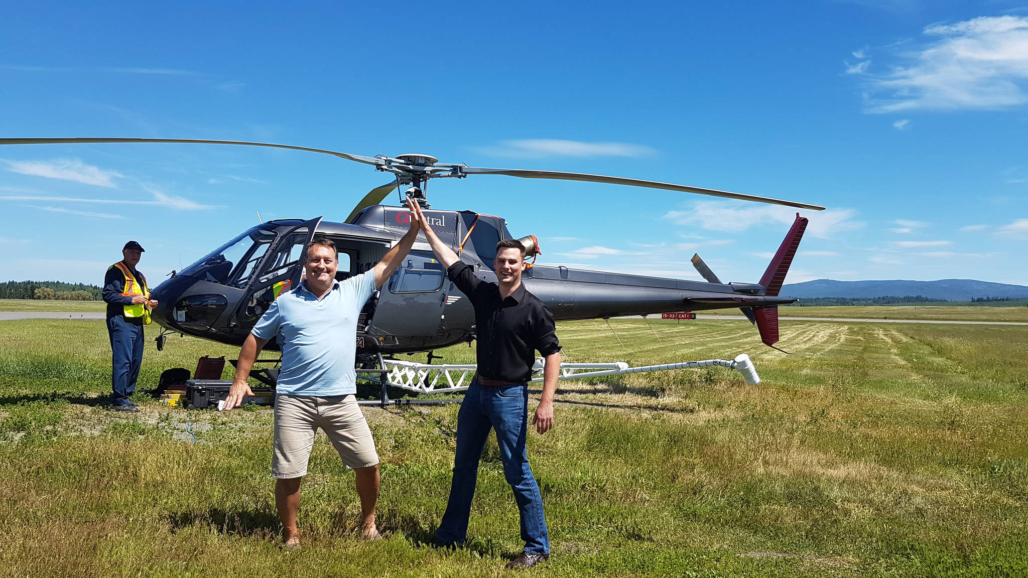
Helicopters equipped with ultra-sensitive magnetometers flew at an elevation of 80 metres for more than 40,000 km in the region.
Search 1 and 2 previously covered the Terrace, Smithers, and Kitimat area in 2015, and in 2016 they flew between Smithers and Vanderhoof.
Geoscience BC vice president of Minerals and Mining Bruce Madu said the purpose is to highlight where minerals deposits may be with more accuracy than ever before.
“Our mandate is to deliver public geoscience for British Columbians and the intent is to spur on discovery, new information for land use and resource management,” he said.
Madu said he found a number of surprising discoveries in the data, including new potential deposits containing metals like copper.
“Particularly, the number of excellent new points we’ve encountered, areas of highly anomalous rock and new structure with little exploration history or even some with exploration history but no active tenures over them, so we call that open ground areas where explorers might be interested in looking,” said Madu.
He added the response so far has been great.
“We know projects like this bring exploration investment and we’ve had quite the buzz around our booth here at Roundup. That buzz being people are excited about new information. We know people have been actively seeking new tenures in the area. We’ve also met with some of the communities in the area and they are equally excited about opportunities and have a new understanding of resource development potential,” he said.
All results, including raw data and a series of summary maps, are available for free to anyone interested.
“One of the most exciting parts of this particular project is the community interest.
“We traveled in the area last summer and met with mayors, First Nation leaders, exploration people and collectively everyone was really excited about new information coming from this survey, and new opportunities and perhaps economic investment with jobs, revenue sharing and new opportunities for some of those northern communities that are struggling with the forestry downturn, mines closing or other opportunities that support families.”
The project cost $1.7 million and was funded by Geoscience BC and Northern Development Initiative Trust. Geoscience BC is mostly funded by the Province of British Columbia.