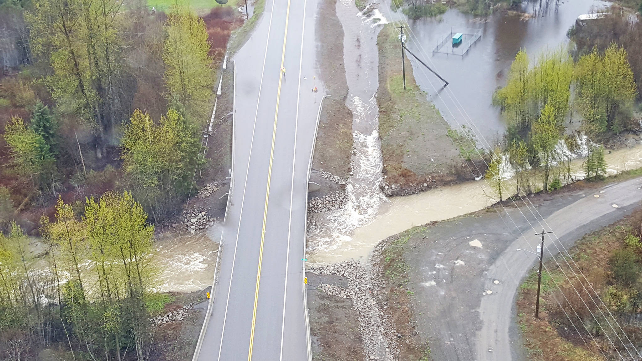
The B.C. Ministry of Transportation and Infrastructure has ruled the cause of the Two Mile flood in Moricetown as three ruptured beaver dams at the outlet of Francis Lake.
The lake rose two feet as over 53 mm of rain fell in the area in three days. The average monthly rainfall for May is 35.7 mm.
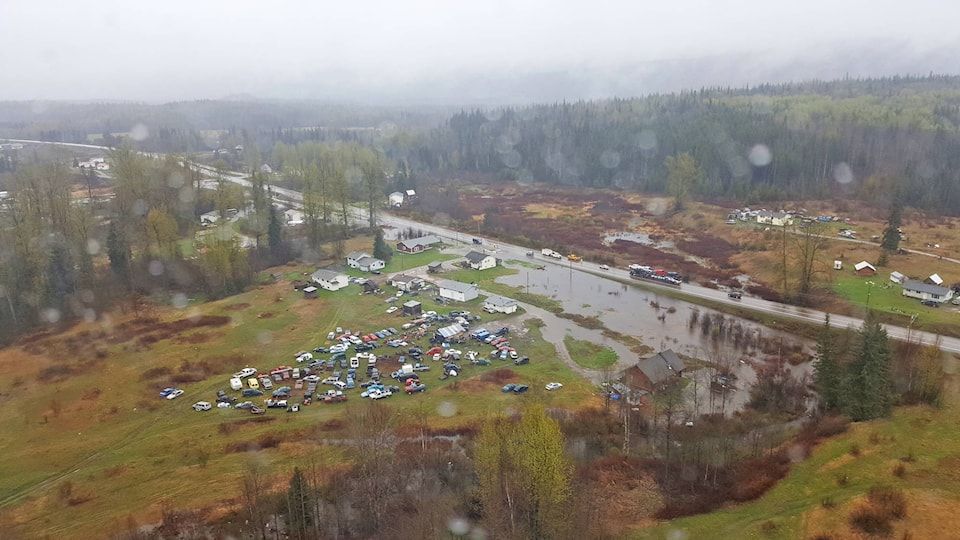
All of the families evacuated May 12 were back home by last Tuesday, according to Moricetown executive director Lucy Gagnon.
A temporary bridge was constructed May 14, allowing families to drive to their homes along Highway 16.
Gagnon said the Band was grateful that no one was injured and appreciated the volunteers who were around all weekend to keep an eye on the situation.
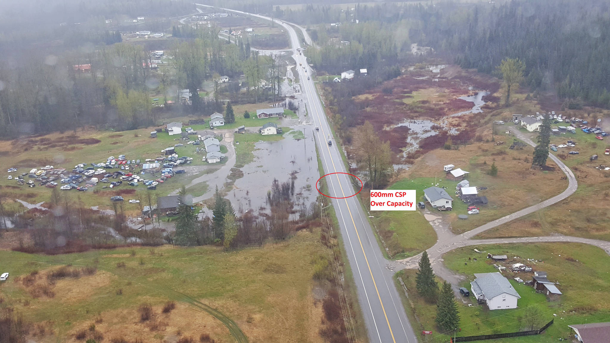
There was some damage to the should along Highway 16.
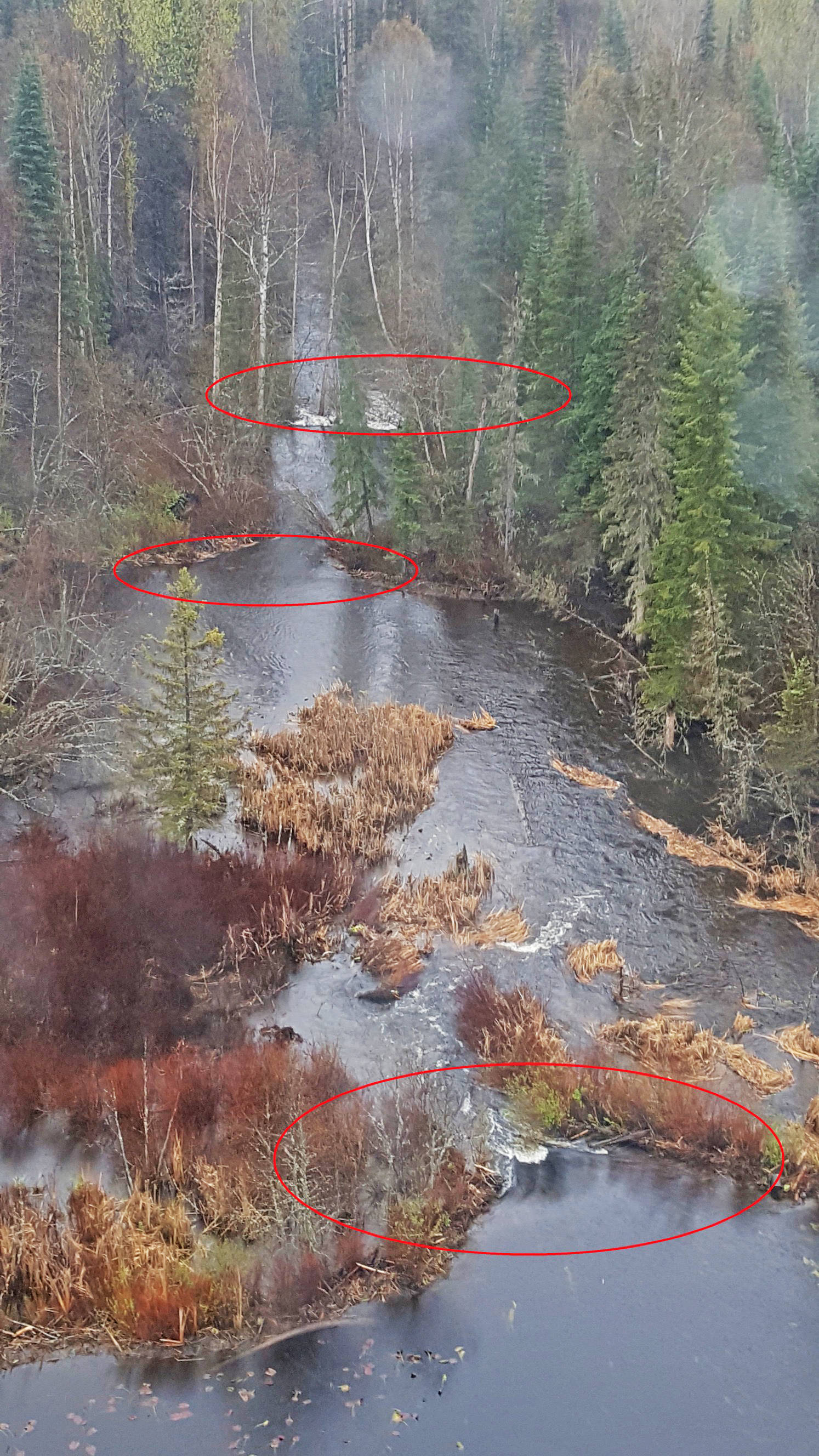
The red circles in the left photo show where the three dams ruptured. According the Ministry, due to the location, mechanical repairs to these dams is not an option.