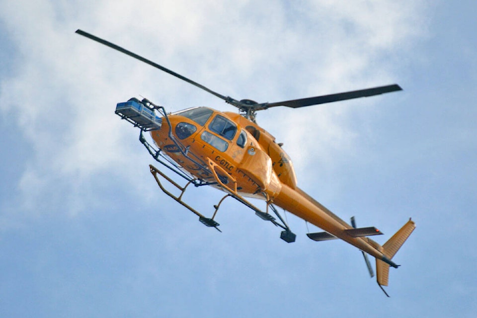
If you have spotted low flying helicopters over the Bulkley Valley in the past weeks, all is well.
Talon Helicopters are preforming low level flying for LiDAR surveys from August 2 to 31, during the daylight hours.
READ MORE: Latest aerial survey finds signs of metal ore
According to the U.S. National Ocean Service, LiDAR is used to “generate precise, three-dimensional information about the shape of the Earth and its surface characteristics,” including both man-made and natural environments.
The company received special authorization issued by Transport Canada to do the surveys.
There will be approximately 5-10 days of work, with flights estimated to be approximately four hours per day, covering the Smithers, Telkwa, Houston and Burns Lake areas.
deb.meissner@interior-news.com
Like us on Facebook and follow us on Twitter