The province has created a road map to B.C.’s top places that carry French history to mark International Francophonie Day.
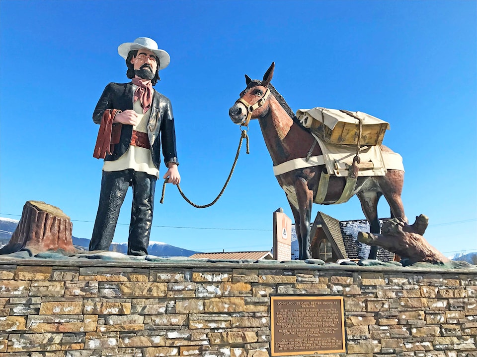
The northernmost destination is in New Hazelton: the memorial statue of Jean Caux, known as Cataline, and his packing horse.
Adrian Dix, who’s minister of health and minister responsible for francophone affairs, said Thursday that 23 structures, buildings, districts and landscapes are being formally recognized to the day on March 20.
The Francophone Historic Places project began last spring, when British Columbians nominated 100 historic areas. Those were narrowed down to 23 spots, added to the BC Register of Historic Places and submitted for inclusion on the Canadian Register of Historic Places.
Jean Caux was born in France and died in 1922 in Hazelton. According to Heritage B.C., as Cataline he is a larger-than-life, almost mythic figure in the history of British Columbia. As Jean Caux, he was a prominent, and longest lasting, pack-train operator during the era of packing transportation (1858-1914) in the province.
According to the Office of the Commissioner of Official Languages, B.C. has 21,000 French-speaking residents and roughly 53,000 students enrolled in French immersion schools.