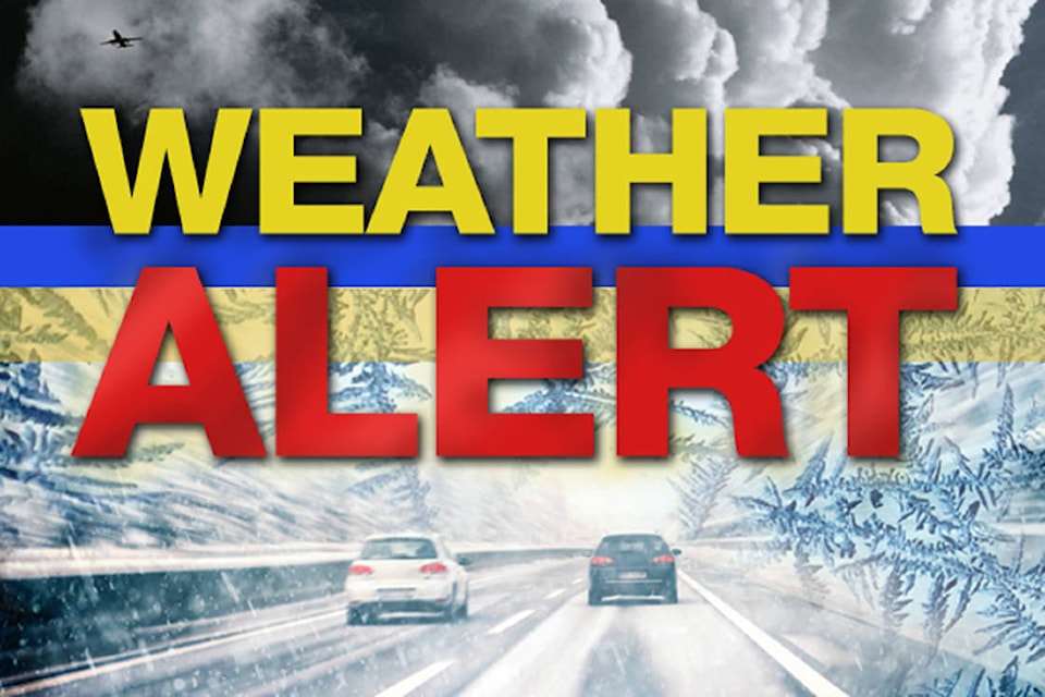
UPDATE: Snowfall warning ended
It is not as bad as was expected earlier in the week, but the snow is still coming — and bringing high wind gusts with it.
A long period of snowfall with total amounts of 10 to 20 cm is expected to fall in the Bulkley Valley and Lakes District.
Snow will develop Thursday morning and persist through the night.
A significant upper low pressure system off the B.C. coast will cause a moist easterly flow over the central interior today. Total snowfall accumulations of 10 to 20 cm are expected before the snow eases by Friday morning.
Easterly winds gusting to 70 km/h may also cause some blowing snow particularly over higher terrain where the snow isn’t as wet.
Snowing in the #BulkleyValley today. Watch for blowing snow, slippery, & slushy sections on #BCHwy16 Check @DriveBC before you go. https://t.co/v4OIwduSrK pic.twitter.com/EJ7fVD7waX
— BV Lakes StikineDist (@TranBC_BVLDS) March 22, 2018
Be prepared to adjust your driving with changing road conditions. Visibility may be suddenly reduced at times in heavy snow. Take frequent breaks and avoid strain when clearing snow.
To report severe weather, send an email to ec.tempetepacifique-pacificstorm.ec@canada.ca or tweet reports using #BCStorm.